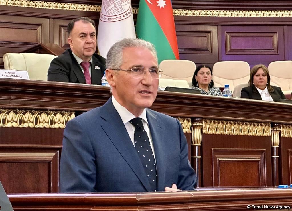
BAKU, Azerbaijan, November 4. High-precision topographic and cartographic work was carried out in 8 cities, 23 villages and settlements, and on an area of 50,000 hectares, including the international airports of Zangilan and Fuzuli, as well as park areas, in Azerbaijani territories liberated from Armenian occupation, Azerbaijani Minister of Ecology and Natural Resources Mukhtar Babayev said, TurkicWorld reports.
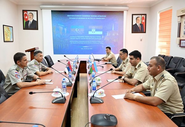
He spoke at public hearings in Azzerbaijan's Milli Majlis (Parliament) on "Combating mine threat - impact of explosives on ecosystem".
"Topo maps of different scales and "Electronic Water Map" have been prepared, an atlas of natural resources of Karabakh and Eastern Zangezur and a map of economic districts have been compiled," he said.
The minister noted that an extensive infrastructure network is being created in Azerbaijani territories liberated from Armenian occupation to manage solid waste in accordance with modern requirements.
He noted that districts had identified waste areas and cleansed them of mines and explosive munitions. Work on sustainable building waste management has begun in settlement rehabilitation. Construction waste processing and reuse equipment has already been purchased and installed in Azerbaijan's Aghdam and Jabrayil districts. Work in this direction has begun. Approximately 20,000 tons of such trash will be handled until November 1, 2023.
"Unfortunately, nature, which has suffered widespread damage in Karabakh and the East Zangezur region as a result of committed ecological terror, continues to face complications as a result of the presence of mines and unexploded ordnance." We are unable to carry out ecosystem restoration measures at the necessary rate due to the mine hazard," the minister added.